
The role of satellite-based mapping in hydrography
March 26th, 2024
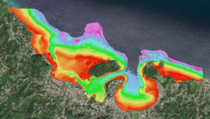
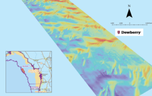
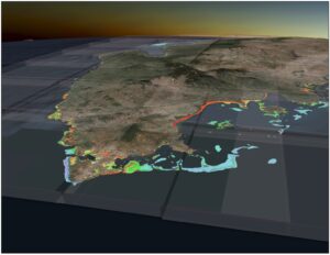
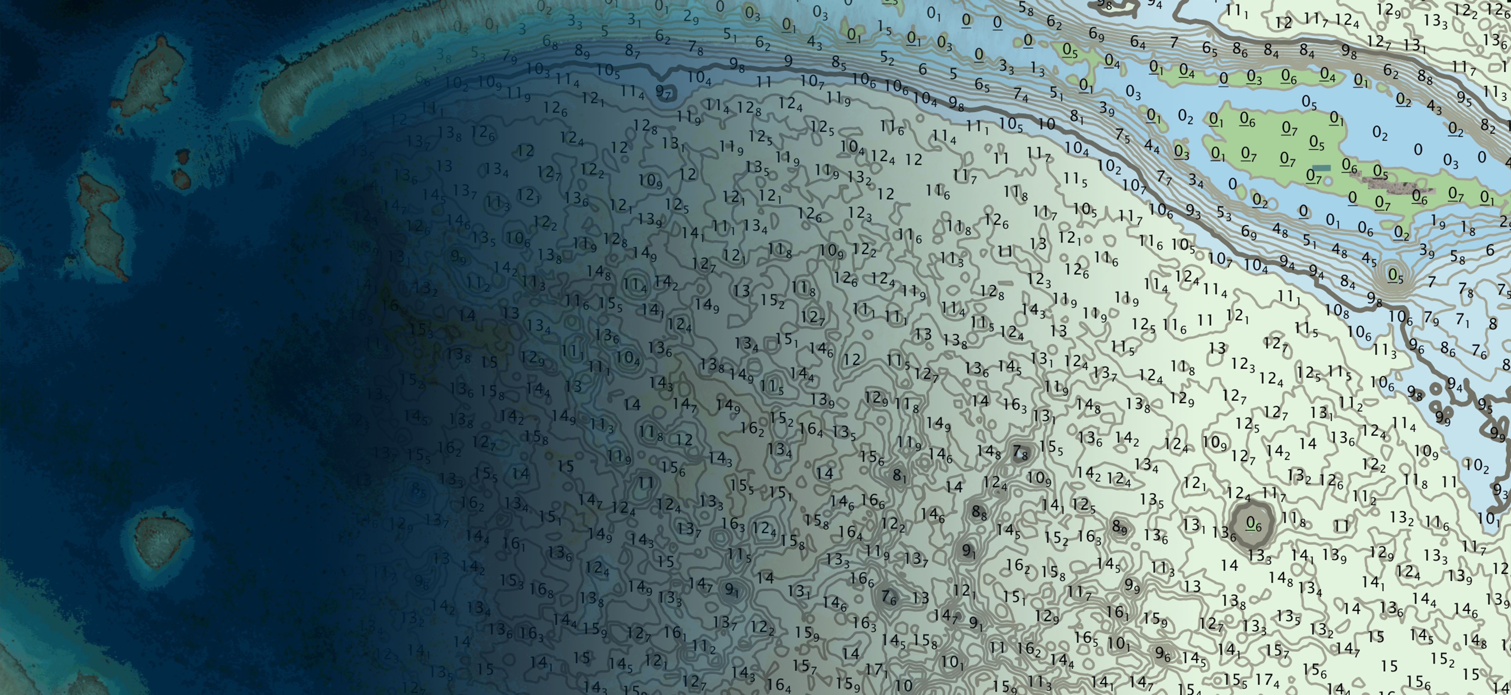
An efficient method for mapping water properties By harnessing capabilities of advanced satellite technology and ever-evolving data analysis, satellite-based mapping (including satellite-derived bathymetry, SDB) offers an efficient, extensible and cost-effective method for mapping water properties, underwater topography and other elements of coastal zones and inland waters. This discussion prioritizes two critical applications of satellite-derived mapping […]