Blogs

Hydrospatial Spotlight: Dr. Chris Ilori

January 22nd, 2021
Corey Goodrich

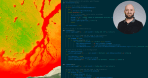
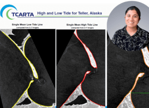
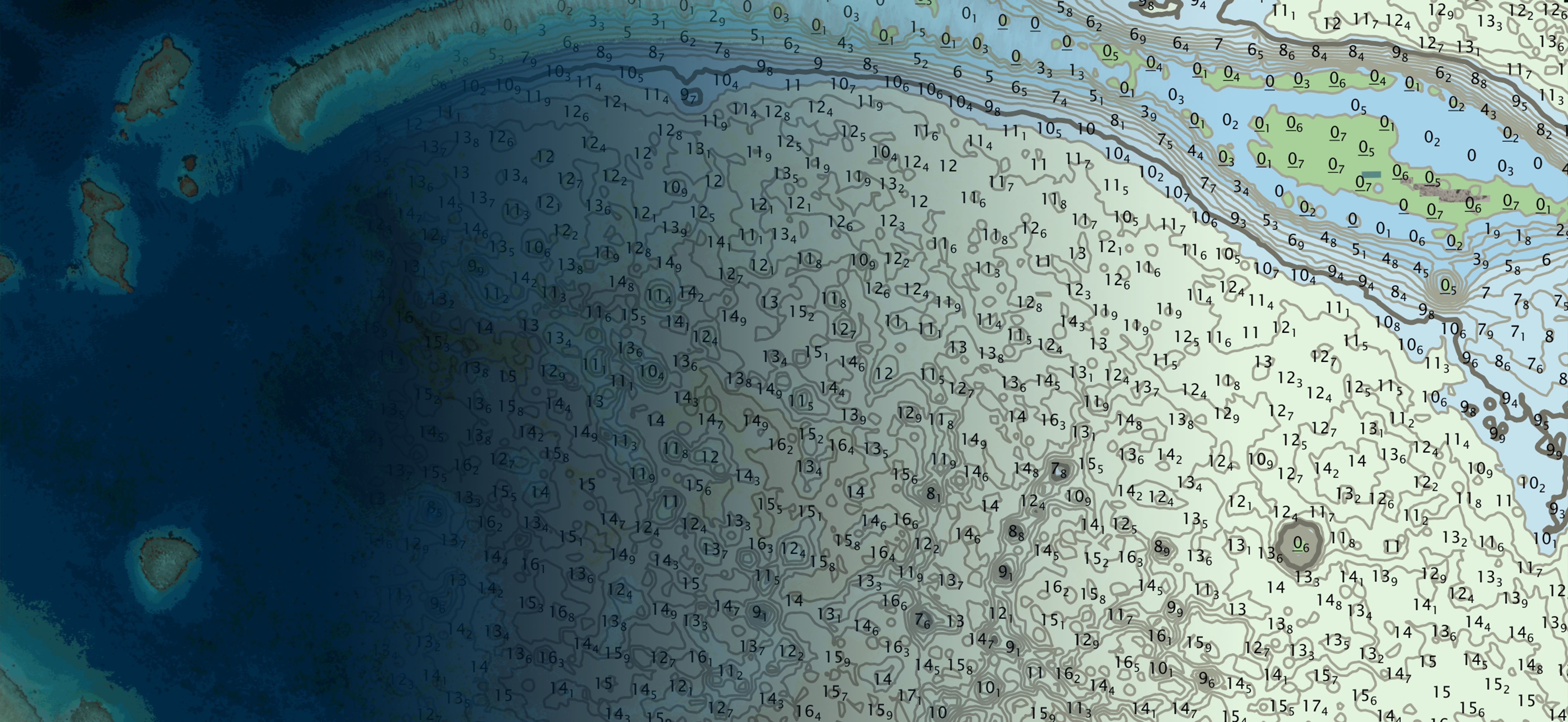
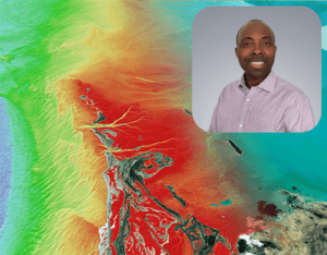
Hydrospatial Spotlight shines on Dr. Christopher Ilori, Senior Geospatial Scientist, Burnaby, British Columbia, Canada Ilori mixes passion for remote sensing with humor and enthusiasm for a good challenge! Chris Ilori, PhD is a subject matter expert in atmospheric correction and satellite derived bathymetry (SDB) as you can see by a quick glimpse at his Google […]

Hydrospatial Spotlight: Ross Smith

January 18th, 2021
Corey Goodrich

Interviewing and hiring Ross Smith was one of the first things I did after I joined TCarta in the spring of 2017. In the first weeks of working in the same office, I grew very fond of Ross’ sound effects while working. And still now, at least daily, there will be an intriguing “Aha” or […]

Hydrospatial Spotlight: Carol Fisher, TCarta Caribe

January 13th, 2021
Corey Goodrich

Hydrospatial Spotlight shines on Carol Fisher, TCarta Caribe Partner & MACHC Regional Consultant (#9 in a series of 14) Fisher envisions capacity building for Caribbean colleagues Carol Fisher met Kyle Goodrich at a Meso American-Caribbean Sea Hydrographic Commission (MACHC) meeting in 2018 in the Dominican Republic (https://www.iho-machc.org/). After watching his presentation on Satellite Derived Bathymetry […]

Hydrospatial Spotlight: Natalie Treadwell

January 12th, 2021
Corey Goodrich

Natalie joined TCarta’s team this spring as a part-time member of the NOAA SBIR Phase II Grant program focusing on Satellite-based solutions for Alaska and the Arctic. Her passion for her home state of Alaska and for GIS, mapping and Esri tools are a wonderful match for TCarta’s mission, vision and strategic plan and for […]

Hydrospatial Spotlight: Dr. Bindi Dave

January 4th, 2021
Corey Goodrich

Senior Remote Sensing Scientist, Mascouche, Canada Dr. Dave’s love for a good challenge brings advancements in SAR to TCarta (#8 in a series of 14) A fairly new member of TCarta, Bindi brings her background in remote sensing, image processing and GIS to her work with SAR and Satellite imagery and various GIS workflows. In […]